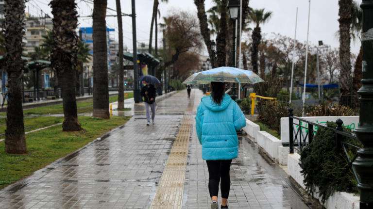
Emergency bulletin for severe weather with rain and hail storms

Πηγή: Αρχείου
Greek National Weather Bureau – EMY issued an emergency bulletin for worsening weather, with heavy rains and storms.
In particular, the weather will worsen in Greece from Monday evening, as part of the severe weather front with the name BOGDAN affecting Italy, will move towards Greece.
Areas with intense phenomena More specifically on Tuesday (27-9-2022) the areas that will be affected by heavy rains and storms, which will be accompanied by a large number of lightning bolt are, local hail and very strong winds:
a. The northern Ionian and Epirus from dawn and until the afternoon and
b. The western Mainland and possibly the northwestern Peloponnese from midday to the evening hours.

EMY forecast for Tuesday In west, central and northern Greece weather will be cloudy with localized rain and scattered thunderstorms possibly strong in places in the west. In the evening the phenomena will weaken. In the rest of Greece few clouds temporarily more intense with local rains and possibly isolated storms.
Winds will blow from the south at 4 to 6 and on the seas locally 7 on the Beaufort scale with a slight weakening in the west in the evening.
The temperature will drop slightly in the west and north.
EMY forecast for Wednesday and Thursday In the west, the north and the islands of the eastern Aegean few clouds temporarily increased with local rains are foreseen and sporadic storms mainly in the west. In the rest of Greece there will be few clouds, temporarily increased.
The winds will blow south southwest 4 to 5 and in the seas locally 6 on the Beaufort scale.
The temperature will not change appreciably.


Το σχόλιο σας